The St. Anne Mountain (404 m a.s.l.) is the tallest hill of the Silesian Upland.
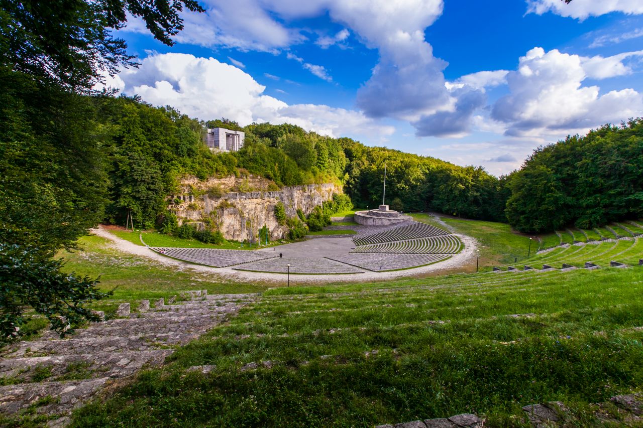
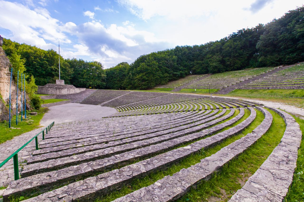
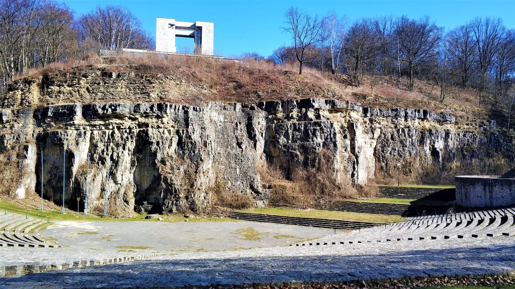
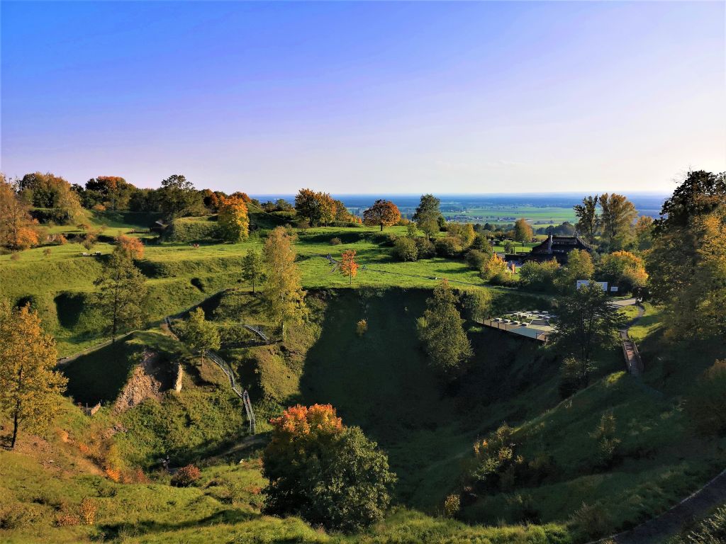
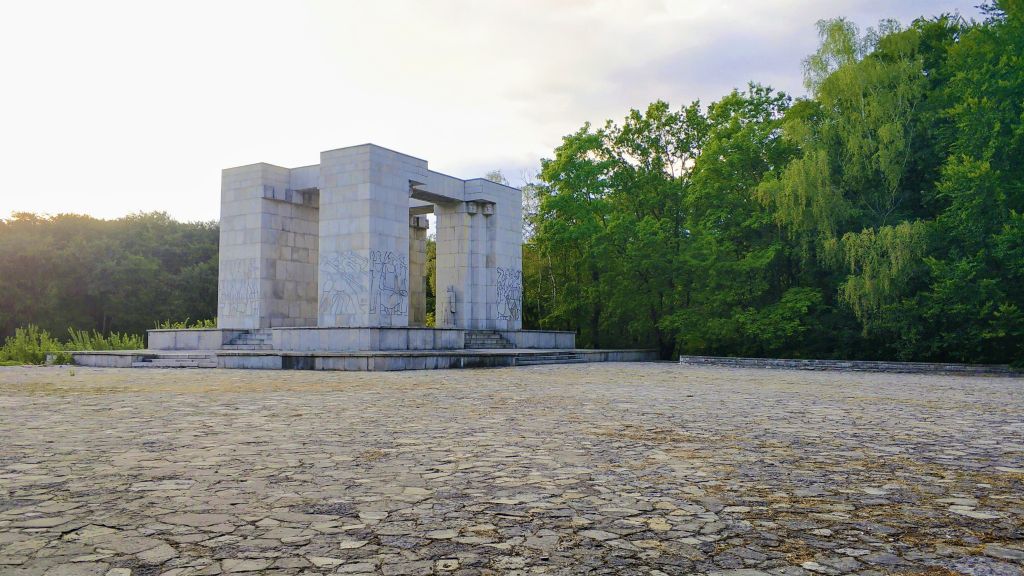
Located on the Chełm Hump, it was the furthest Silesian volcano! The climatic distinctiveness: lower temperature and more precipitation in comparison to the other parts of the region, together with the soil conditions, resulted in a lower forestation of the park (21% of the area) that is divided with the cultivated fields. The most valuable forest areas include Lesisko preserve, Boże Oko, Grafik and Biesiec. Due to the unique geological characteristics, over half of the region has been included in the St. Anne Mountain National Geopark. There is a geological path for hikers and cyclists that has 10km and 11 stands. You can learn there about the beginning of volcanism, the creation process of the fossils, tectonic shifts or life on a reef. It takes about 6 to 7 hours to finish the route. Worth mentioning is also the rock amphitheatre. The park includes the Xawery Dunikowski’s hiking route (4km), the Flora and Fauna Route (15km), the Third Silesia Rising route (23km), the John Paul II’s route (10km), the Robert Oszek’s route (34km), the Silesian Insurgents route (98km).